
Christiansburg ZIP Code Designations
The postal ZIPs most directly associated with Christiansburg are 24073 and 24068. USPS archival material labels both as Christiansburg designations, but the practical distinction is important: 24073 is the street-delivery postal area and 24068 is the P.O. Box designation. Postal geography is not the same as the Town of Christiansburg corporate boundary. An address bearing a Christiansburg postal city can still require county GIS review before it is treated as a town parcel.
| ZIP | Areas Covered | Post Office | Notes |
|---|---|---|---|
| 24073 | Christiansburg street-delivery postal area and surrounding addresses using Christiansburg as the preferred postal city | Christiansburg Post Office and local delivery routes | Do not equate it with corporate limits; verify the parcel in GIS. |
| 24068 | Christiansburg P.O. Box mailing designation | Christiansburg Post Office | Treated as a P.O. Box or point ZIP with little or no geographic street territory; confirm current USPS results. |
No live USPS test for a Christiansburg address was retained in the research, and no official county ZIP-boundary shapefile was located. These two designations are the verified starting point, not a claim that they define every present delivery pattern or a legal boundary.
Christiansburg Postal Town Limit Check
A postal-city name is not a political jurisdiction. The Census explanation of USPS preferred cities makes that distinction explicit. Christiansburg is a town within Montgomery County, not an independent city. A county parcel outside corporate limits may have a Christiansburg mailing or postal address. Conversely, nearby Montgomery addresses can use other postal city names while remaining close to town.
The same caution applies to a mapped ZIP shape. Census ZIP Code Tabulation Areas are statistical approximations, not USPS delivery boundaries. Use a postal result to verify the address format, then use Town or county GIS to check municipal geography. Neither result proves ownership or the people at the address.
A Census postal-city guidance page illustrates why a Christiansburg ZIP code should not be treated as a town-limit label.
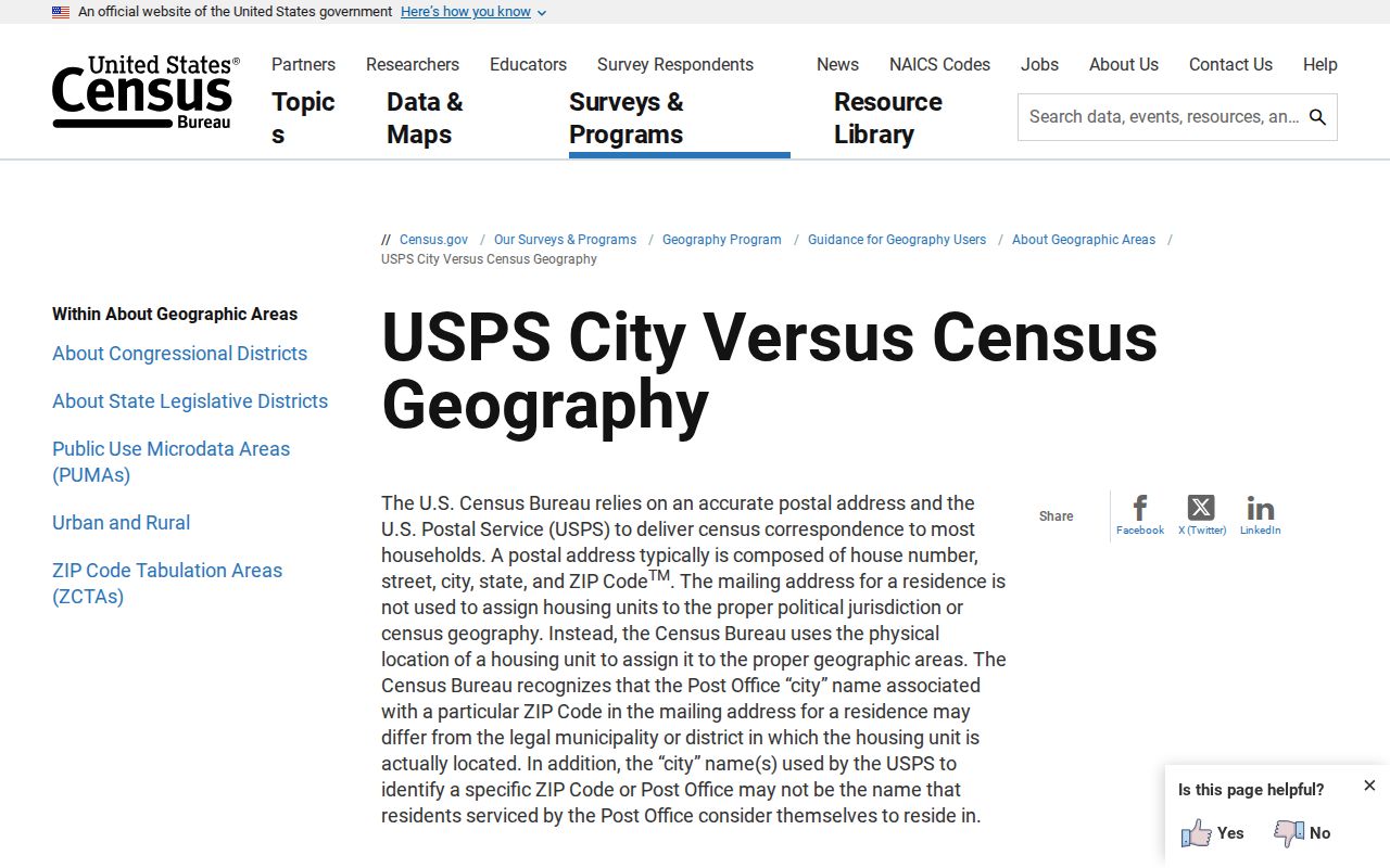
The distinction protects an address search from a common geography error: postal naming and local government boundaries answer separate questions.
Verify Christiansburg ZIP Code Results
USPS is the verification route for a postal ZIP. Use its address lookup before carrying a postal label into another search. The research captured three lookup modes: By Address, By City/State, and Cities by ZIP. A result provides a recognized or preferred postal city and ZIP. It does not identify an owner, prove a town limit, or establish a resident list.
| Field Label | Type | Required | Options or Format Notes |
|---|---|---|---|
| Company | Text | No | Optional in By Address. |
| Street Address | Text | Yes | Required for By Address. |
| Apt/Suite/Other | Text | No | Optional address detail. |
| City | Text | Yes | Required for By Address and By City/State. |
| State | Dropdown | Yes | Required for By Address and By City/State. |
| ZIP Code | Text | Varies | Optional in By Address and required for Cities by ZIP. |
When the return does not match the address in hand, record the exact input and try the source’s accepted format. A P.O. Box result should not be swapped into a street-address field. Keep the postal result alongside, rather than in place of, a parcel or deed record.
Christiansburg Postal GIS Geography
GIS is the route for legal and parcel geography. Montgomery County GIS administers county GIS, E911 site addresses, and street names. Its MyGIS OneView map can search an address, street range, or Parcel ID and display parcel, address, zoning, flood, and district layers. Town mapping adds municipal layers for addresses, parcels, streets, utilities, drainage, and related infrastructure. Map output is reference material, not a legal survey.
The Christiansburg GeoWeb is a source for the town’s public mapping environment.
Use the town layers to see how the municipality depicts an address, then compare that view with the county parcel record when the town-limit question matters.
The Christiansburg GIS and Maps page lists the town’s available maps and update dates.
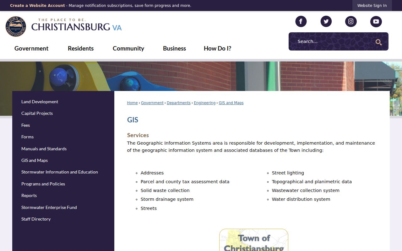
These public layers route a geography question to the right custodian. They do not turn a postal ZIP into a fixed town boundary.
Christiansburg Postal Portal Limits
The Montgomery County Commissioner of Revenue real-estate forms do not show a verified ZIP filter. Their inspected basic modes support owner, address, parcel, two-owner, advanced, and map work. The assessor results can display a mailing address, but that is not a documented ZIP-wide search tool. Advanced criteria captured in the research include property values, acreage, sale date, zoning, tax district, neighborhood, year built, and exemption class, not ZIP.
MyGIS likewise accepts an address, street range, or Parcel ID in its Search Bar, while its guide does not advertise ZIP as a parcel-query field. The voter district map accepts a street address and returns precinct or district context, not a ZIP-wide list. These gaps matter because an apparent ZIP search may only be a mailing-address keyword or a map view, not a verified way to enumerate parcels.
That limitation also applies when a result includes a five-digit number in a mailing address. A tax card can show where the assessed owner receives correspondence, while the situs field identifies the parcel being assessed. Neither field establishes a list of people within a postal area. For a known address, retain the USPS result beside the situs, parcel number, and legal description. Those separate entries make it easier to spot a PO Box, a mailing address outside town, or a historic address label before expanding the search.
Finding Christiansburg Residents By ZIP Code
A ZIP can organize an address investigation, but the identified local tools do not provide a verified public ZIP-wide resident or parcel filter. Start with the individual address whenever possible. The sequence below keeps postal, parcel, and voter information in their proper lanes and avoids claiming that a ZIP delivers a complete list of people or properties.
- Use USPS By Address to confirm the postal city and ZIP for the full street address or P.O. Box.
- Search the Commissioner of Revenue portal by address, owner, or parcel ID rather than assuming a ZIP filter exists.
- Open MyGIS or Town GeoWeb to compare the site address with parcel and municipal layers.
- If voter information is relevant, recognize that the public portal is a self-status and polling-place route, while list access is controlled by Virginia law.
- For a narrow street or parcel question, continue with the records tools that are keyed to that address.
Virginia registrar lists may contain specified public fields under Va. Code §§24.2-405 and 24.2-444, but the free portal does not expose an arbitrary ZIP-wide search. Protected and suppressed addresses remain protected. Once the ZIP has narrowed an address, the Christiansburg street directory provides the street-level approach.
Christiansburg ZIP Code Address Terms
Three labels often appear in an address trail: situs address, tax mailing address, and legal description. The situs address is where the parcel physically lies. A mailing address is where the assessed owner receives correspondence. The legal description is the durable land language used in a deed, such as a lot, phase, section, acreage, or plat reference. None should be casually substituted for a postal ZIP result.
- ZIP versus ZIP+4
- A ZIP identifies a postal delivery area; ZIP+4 adds a more specific delivery segment. Neither is a town-boundary record.
- P.O. Box ZIP
- A postal designation for box mail. Christiansburg 24068 is the verified local P.O. Box designation.
- Unique ZIP
- A ZIP assigned to one institution or organization. No unique Christiansburg ZIP was verified in the research.
- Carrier route
- A postal delivery grouping used to route mail. It is not a parcel boundary or a household record.
Cambria Christiansburg Postal Context
Historic place names help when a ZIP or street label does not line up with an old source. Cambria grew around the Virginia and Tennessee Railroad and Cambria Depot, then consolidated with Christiansburg on December 31, 1965. Older records can therefore use Cambria, Main, Cross, Franklin, depot, railroad, or station terms. Present Franklin Street was formerly Cross Street, so retaining the original wording can improve a newspaper, directory, or deed search.
The Cambria UDA material describes 114 parcels in 39 acres within town limits and identifies streets including Brown, Rigby, Plum, King, Trent, Church, Driscoll, Cambria, Montgomery, Depot, Station, Front, East Main, High, and Sunnyside. That is a local geography frame and historic keyword list, not a postal ZIP map. Use GIS to check the current parcel rather than assigning the same postal or town result to every historic label.
Christiansburg ZIP Code Boundary Gap
No official county ZIP-boundary shapefile and no live USPS query result for a test Christiansburg address were captured in the research. Before making a delivery-area statement about one address, run USPS By Address and By City/State, then compare the answer with the county or Town GIS map. That is especially important near town limits and for addresses carrying a Christiansburg postal city.
The Census ZCTA guidance explains why a Census approximation cannot replace a live USPS result.
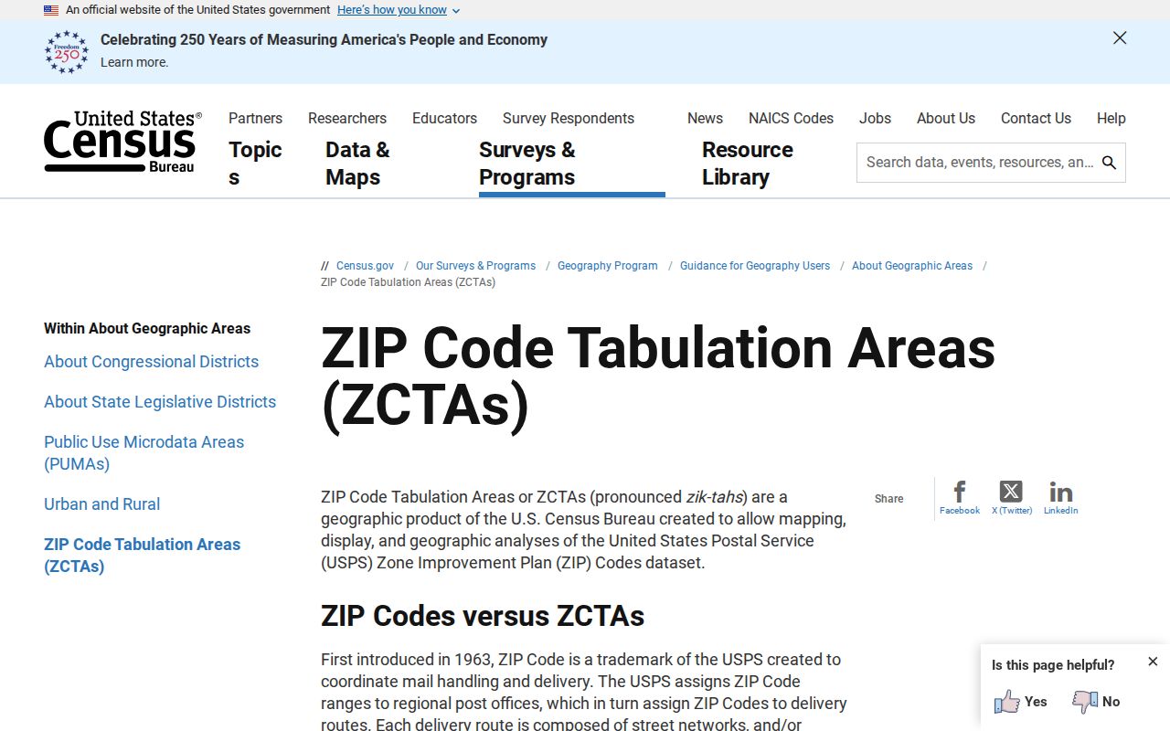
A ZCTA can help describe statistical geography, while USPS and local GIS remain the separate checks for postal format and town geography.
Note: A current ZIP claim needs a USPS address result, while a town-limit claim needs the relevant local GIS or official map source.